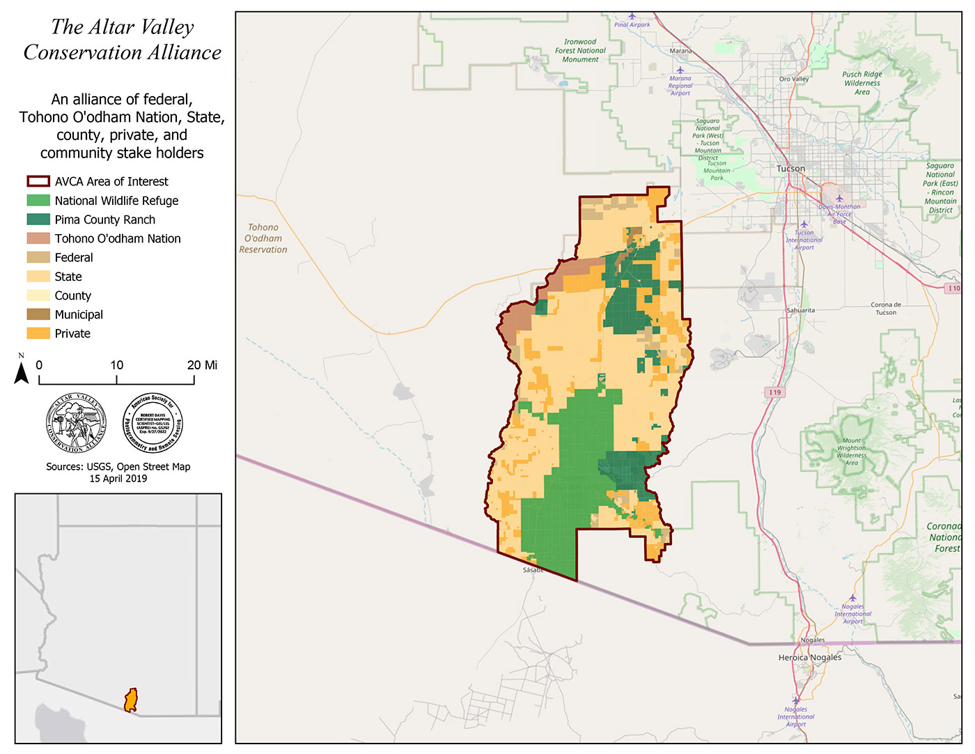
About Us
Watershed
Though it is only 20 miles from the city, few of Tucson’s 450,000 plus citizens know the Altar Valley.
About Us
Watershed
Though it is only 20 miles from the city, few of Tucson’s 450,000 plus citizens know the Altar Valley.
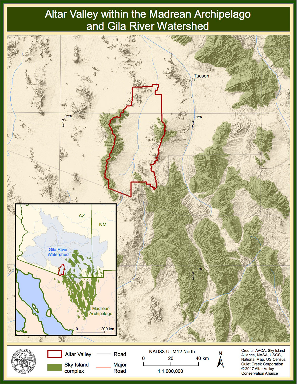
The best way to orient them is to take their mind’s eye to the south facing views from Tucson’s prized Arizona-Sonora Desert Museum, where one can gaze far south to the international border shared with Mexico. The evening view is particularly stunning and startling. The foreground sparkles with lights from hundreds of homes, roads and cars that have jumped the confines of the urban Tucson Basin, much of it in unregulated or wildcat subdivision. Further south, a line of contrast marks the edge of a roughly 610,000 acre sea of darkness – the Altar Valley watershed, a working landscape presided over by Baboquivari Peak.
The Altar Valley planning area is approximately 52 miles long and 20 miles wide. It is generally bound on the south by the United States/Mexico border, on the north by State Route 86 (the Ajo Highway), on the west by the Baboquivari and Coyote Mountains, and on the east by the Sierrita, Las Guijas, Cerro Colorado, and San Luis Mountains. It also encompasses three small towns: Three Points at the State Routes 86/286 juncture, Arivaca at the extreme southeastern end, and Sasabe at the southern end.
The Altar Valley is part of the Gila River Watershed, the Madrean Archipelago and the Sonoran Desert.
Please take a look at our GIS Portal to view more mapping options.