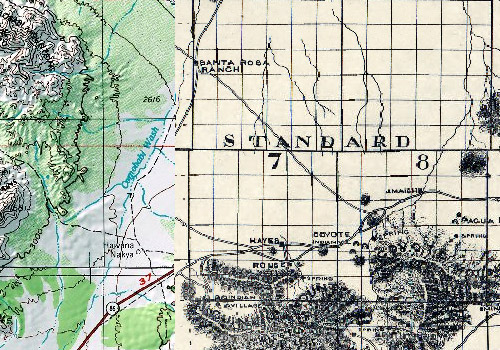
GIS Portal
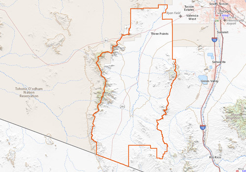
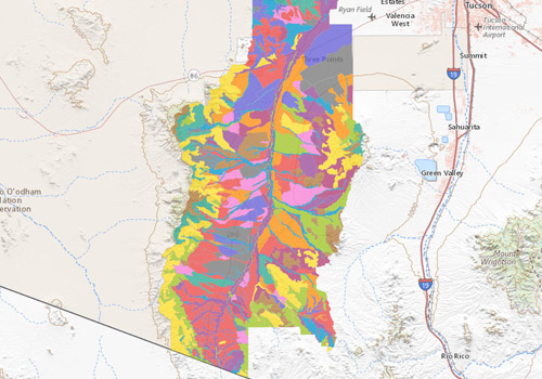
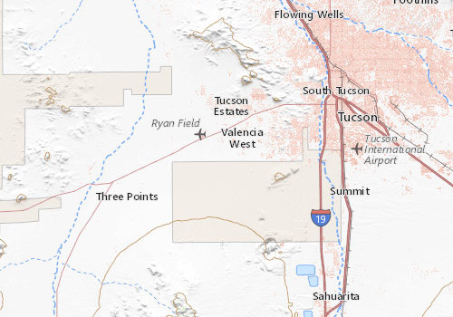
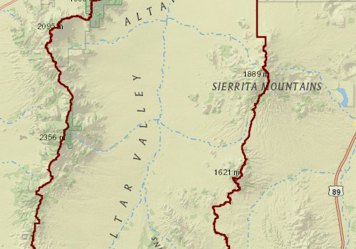
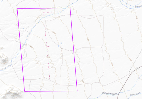
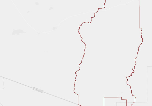
Welcome to AVCA’s web map page, where you can find up-to-date geospatial information about the Altar Valley.
By clicking each map below, you’ll be taken to an interactive ArcGIS portal. In ArcGIS, these maps can be adjusted by:
• Turning layers on and off
• Moving around with the mouse
• Zooming in and out
• Changing the basemap
• Using the “swipe tools” to swipe layers on and off dynamically
• Displaying layers based on a range of years (for some maps)
Several of these maps update in real-time. For example, the Fire Information Map shows near-current weather and satellite detected hot-spots of fire smoke within the Altar Valley, allowing for automatic updates reflecting that information.
All maps are enabled to custom print as a PDF. These tools are on the top right of each map. Where required, additional links to germane agencies are along the top of the map.
Property line representations and/or any other type of attribute, boundary, linear or point location contained within this data or displayed within this product are approximate and cannot be used for authoritative location purposes.
Please click on the maps below to be taken to the ArcGIS interactive portal.