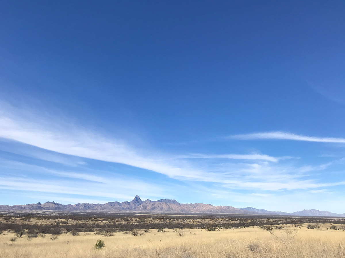
The Alliance is essential to facilitating on-the-ground, collaborative conservation in the Altar Valley. Countless hours have been invested in the watershed health of the Altar Valley by individuals and agencies who recognize the importance of cross-boundary thinking in conserving the valley as an open landscape for future generations. Pima County considers the Altar Valley watershed a key element of its regional Sonoran Desert Conservation Plan (2000). Ranchers in the valley have made the Altar Valley a working landscape – a place where the growing of food is used as a method of open space conservation, and conservation projects are considered essential to ranching practices.
The Alliance has engaged in large scale conservation planning efforts from early on in our history. Over the years, these have included the Altar Valley Watershed Resource Assessment, the Altar Valley Fire Management Plan, and the Altar Valley Framework. Throughout 2019-2022, the Alliance led a collaborative effort to create a long term plan and goals for conservation that culminated in the Altar Valley Watershed Plan. This planning process was funded by a grant from the Bureau of Reclamation WaterSmart Program and support from the Pima County Regional Flood Control District. Today, the Alliance continues to convene the Altar Valley Watershed Working Group to engage stakeholders in creating a shared vision for the future of the Altar Valley.
While large scale planning efforts are critical pieces of conservation, the Alliance has found that on-the-ground projects are essential to bringing people together. Engaging directly with the land brings enthusiasm to our planning efforts. The Alliance’s on-the-ground projects typically focus on erosion control or brush management. Our projects are made possible through grant awards, private donations and matched by countless hours of time invested by Alliance partners. View our projects here.
In recent years, the Alliance’s conservation work has increasingly relied on GIS mapping. The Alliance partners with the Quiet Creek Corporation to work with the ArcGIS system to create up-to-date geospatial information about the Altar Valley. Please visit our GIS Portal to view our Altar Valley map resources.


